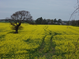
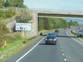
Coed y Drive, Denbighshire

« Gazetteer Entry
Upload Photo

Coed y Drive, Denbighshire

  • Parish/Community: Bodelwyddan
  • Unitary Authority: Denbighshire
  • Region: Wales
  • Category: Landcover
  • Type: Forest or Wood
  • Latitude/Longitude: 53°16'48"N 3°31'38"W
  • Eastings/Northings: 298259, 376995
  • OS Grid: SH982769
  • Mapcode Local: GBR 3ZTH.3W
  • Mapcode Global: WH658.STG8

Location and coordinates are for the approximate centre of Coed y Drive within this administrative area. Geographic features and populated places may cross administrative borders.

BritishPlaceNames.uk is a Good Stuff website.