-

Coed Gwar Cwm-Isaf
-
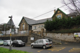
Llangynfelin Community Primary School
Coed Gwar Cwm-Isaf
Llangynfelin Community Primary School
Location and coordinates are for the approximate centre of Coed Tafarn-fach within this administrative area. Geographic features and populated places may cross administrative borders.