-
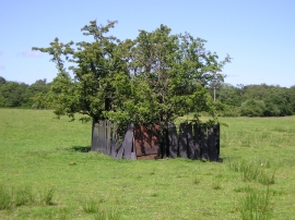
Well Near Efail Castell
-
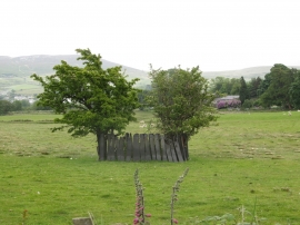
Ffynnon Efail Castell Well
Well Near Efail Castell
Ffynnon Efail Castell Well
Location and coordinates are for the approximate centre of Coed Rhydau within this administrative area. Geographic features and populated places may cross administrative borders.