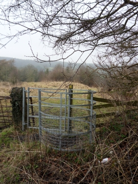
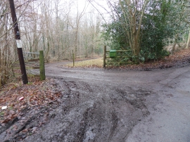
Coed Plaswilkin, Flintshire

« Gazetteer Entry
Upload Photo

Coed Plaswilkin, Flintshire

  • Parish/Community: Cilcain
  • Unitary Authority: Flintshire
  • Region: Wales
  • Category: Landcover
  • Type: Forest or Wood
  • Latitude/Longitude: 53°11'35"N 3°12'38"W
  • Eastings/Northings: 319211, 366917
  • OS Grid: SJ192669
  • Mapcode Local: GBR 6X.2SNZ
  • Mapcode Global: WH76Y.NZ9X

Location and coordinates are for the approximate centre of Coed Plaswilkin within this administrative area. Geographic features and populated places may cross administrative borders.

BritishPlaceNames.uk is a Good Stuff website.