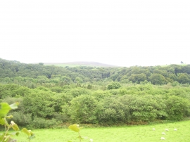
Coed Pen-yr-allt-ddu, Pembrokeshire

« Gazetteer Entry
Upload Photo

Coed Pen-yr-allt-ddu, Pembrokeshire

  • Parish/Community: Cwm Gwaun
  • Unitary Authority: Pembrokeshire
  • Region: Wales
  • Category: Landcover
  • Type: Forest or Wood
  • Latitude/Longitude: 51°58'21"N 4°51'5"W
  • Eastings/Northings: 204230, 234316
  • OS Grid: SN042343
  • Mapcode Local: GBR CQ.KZ4J
  • Mapcode Global: VH1QP.VPJ3

Location and coordinates are for the approximate centre of Coed Pen-yr-allt-ddu within this administrative area. Geographic features and populated places may cross administrative borders.

BritishPlaceNames.uk is a Good Stuff website.