-
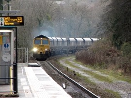
Coal train at Trefforest Estate station
-
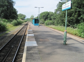
Treforest Estate railway station, Mid Glamorgan
Coal train at Trefforest Estate station
Treforest Estate railway station, Mid Glamorgan
Location and coordinates are for the approximate centre of Coed Maes-bach within this administrative area. Geographic features and populated places may cross administrative borders.