-
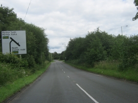
Road from Hirwaun to join the A465 Heads of the Valley Road
-
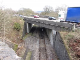
Heads of the Valleys Road bridge in Hirwaun
Road from Hirwaun to join the A465 Heads of the Valley Road
Heads of the Valleys Road bridge in Hirwaun
Location and coordinates are for the approximate centre of Coed Llwyn-y-môch within this administrative area. Geographic features and populated places may cross administrative borders.