-

Coed Cattwg-glas
-
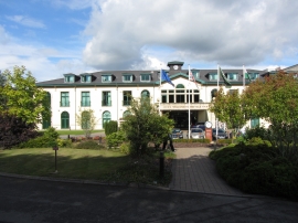
Vale Resort hotel, Hensol
Coed Cattwg-glas
Vale Resort hotel, Hensol
Location and coordinates are for the approximate centre of Coed Llwyn-iou within this administrative area. Geographic features and populated places may cross administrative borders.