-
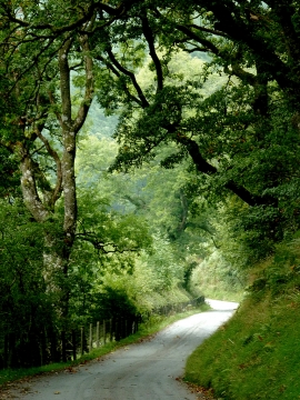
The lane to Abergwesyn, near Beulah, Powys
-
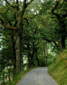
The lane to Abergwesyn, near Beulah, Powys
The lane to Abergwesyn, near Beulah, Powys
The lane to Abergwesyn, near Beulah, Powys
Location and coordinates are for the approximate centre of Coed Llofft-y-bardd within this administrative area. Geographic features and populated places may cross administrative borders.