-
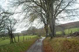
Lane at Dan-y-Cefn
-
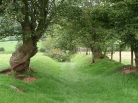
Llwybr ceffyl Cefn Llechid bridleway
Lane at Dan-y-Cefn
Llwybr ceffyl Cefn Llechid bridleway
Location and coordinates are for the approximate centre of Coed Gwinau within this administrative area. Geographic features and populated places may cross administrative borders.