-
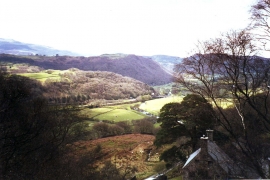
Vale of Ffestiniog
-
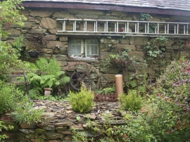
A rusty garden
Vale of Ffestiniog
A rusty garden
Location and coordinates are for the approximate centre of Coed Glan-yr-afon within this administrative area. Geographic features and populated places may cross administrative borders.