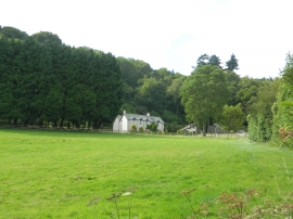
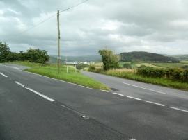
Coed Ffynnon Caradog, Ceredigion

« Gazetteer Entry
Upload Photo

Coed Ffynnon Caradog, Ceredigion

  • Parish/Community: Faenor
  • Unitary Authority: Ceredigion
  • Region: Wales
  • Category: Landcover
  • Type: Forest or Wood
  • Latitude/Longitude: 52°25'45"N 4°2'6"W
  • Eastings/Northings: 261724, 283202
  • OS Grid: SN617832
  • Mapcode Local: GBR 8T.N53M
  • Mapcode Global: VH4FD.06LJ

Location and coordinates are for the approximate centre of Coed Ffynnon Caradog within this administrative area. Geographic features and populated places may cross administrative borders.

BritishPlaceNames.uk is a Good Stuff website.