-
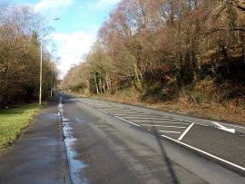
Towards Newtown from Penrhiwceiber
-
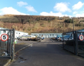
5 mph speed limit in Cwm Cynon Industrial Park, Penrhiwceiber
Towards Newtown from Penrhiwceiber
5 mph speed limit in Cwm Cynon Industrial Park, Penrhiwceiber
Location and coordinates are for the approximate centre of Coed Fforest-uchaf within this administrative area. Geographic features and populated places may cross administrative borders.