-

Country road east of Myddfai
-
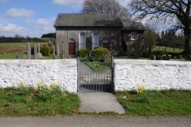
Bwlchyrhiw Chapel
Country road east of Myddfai
Bwlchyrhiw Chapel
Location and coordinates are for the approximate centre of Coed Cwmbrân within this administrative area. Geographic features and populated places may cross administrative borders.