-

Looking eastwards on to the A55
-
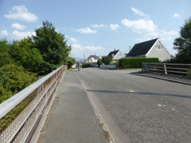
Bridge over the A55
Looking eastwards on to the A55
Bridge over the A55
Location and coordinates are for the approximate centre of Coed Braint within this administrative area. Geographic features and populated places may cross administrative borders.