-
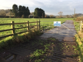
Track to Sewage Works
-
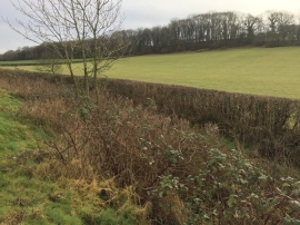
Ditch and Stream
Track to Sewage Works
Ditch and Stream
Location and coordinates are for the approximate centre of Coed Bach within this administrative area. Geographic features and populated places may cross administrative borders.