-

The Leri valley from Glanfred
-
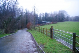
The honey factory near Talybont
The Leri valley from Glanfred
The honey factory near Talybont
Location and coordinates are for the approximate centre of Coed Allt-gogh within this administrative area. Geographic features and populated places may cross administrative borders.