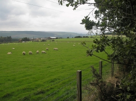
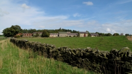
Cock's Hill Plantation, County Durham

« Gazetteer Entry
Upload Photo

Cock's Hill Plantation, County Durham

  • Parish/Community: Wolsingham
  • Unitary Authority: County Durham
  • Region: North East
  • Category: Landcover
  • Type: Forest or Wood
  • Latitude/Longitude: 54°43'22"N 1°48'43"W
  • Eastings/Northings: 412209, 536455
  • OS Grid: NZ122364
  • Mapcode Local: GBR HFST.HQ
  • Mapcode Global: WHC4T.4KD4

Location and coordinates are for the approximate centre of Cock's Hill Plantation within this administrative area. Geographic features and populated places may cross administrative borders.

BritishPlaceNames.uk is a Good Stuff website.