-
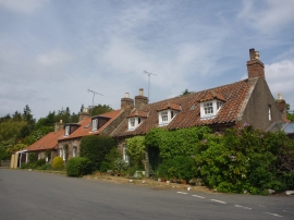
East Lothian Townscape : Cottages On The Main Street, Oldhamstocks
-

Old cottage and wood pile, Oldhamstocks
East Lothian Townscape : Cottages On The Main Street, Oldhamstocks
Old cottage and wood pile, Oldhamstocks
Location and coordinates are for the approximate centre of Cockit Hat Strip within this administrative area. Geographic features and populated places may cross administrative borders.