-
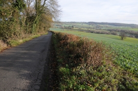
Road to Trelleck Grange
-

Telephone box and road junction, Cobblers Plain
Road to Trelleck Grange
Telephone box and road junction, Cobblers Plain
Location and coordinates are for the approximate centre of Cobbler's Plain within this administrative area. Geographic features and populated places may cross administrative borders.