-
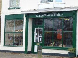
Simon Watkin Violins, Coates
-
The landlord's neighbour may be on the fiddle
Simon Watkin Violins, Coates
The landlord's neighbour may be on the fiddle
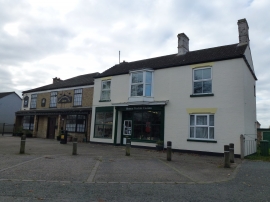
Location and coordinates are for the approximate centre of Coates within this administrative area. Geographic features and populated places may cross administrative borders.