-
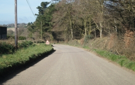
Lane passing Ward Farm
-
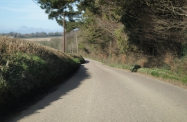
Bude Hill (road) skirting Winkleigh Wood
Lane passing Ward Farm
Bude Hill (road) skirting Winkleigh Wood
Location and coordinates are for the approximate centre of Clump Plantation within this administrative area. Geographic features and populated places may cross administrative borders.