-
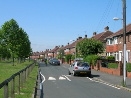
Kingsway North, Clifton, York
-

St. Joseph's Roman Catholic Church
Kingsway North, Clifton, York
St. Joseph's Roman Catholic Church
Location and coordinates are for the approximate centre of Clifton within this administrative area. Geographic features and populated places may cross administrative borders.