-

Livingstone Street, York
-
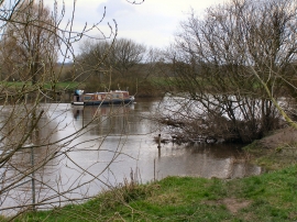
River Ouse
Livingstone Street, York
River Ouse
Location and coordinates are for the approximate centre of Clifton Short Reach within this administrative area. Geographic features and populated places may cross administrative borders.