-
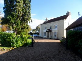
Wakerings Farmhouse
-
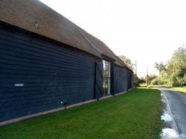
Converted barns at Alstead's Farm
Wakerings Farmhouse
Converted barns at Alstead's Farm
Location and coordinates are for the approximate centre of Chopping's Wood within this administrative area. Geographic features and populated places may cross administrative borders.