-
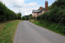
No through road at Cholstrey
-
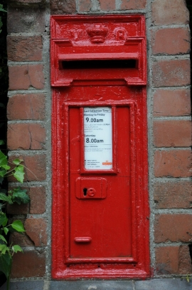
Victorian postbox, Cholstrey
No through road at Cholstrey
Victorian postbox, Cholstrey
Other current and historical names
Location and coordinates are for the approximate centre of Cholstrey within this administrative area. Geographic features and populated places may cross administrative borders.