-
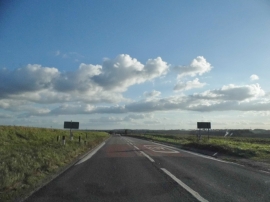
Ermine Street, Buckland
-
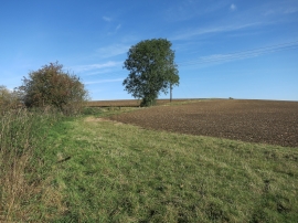
Fields by Buckland Bottom
Ermine Street, Buckland
Fields by Buckland Bottom
Location and coordinates are for the approximate centre of Chipping Hill within this administrative area. Geographic features and populated places may cross administrative borders.