-
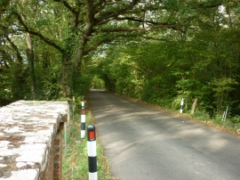
Rowlands Lane taken from the rail bridge
-
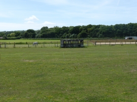
Old Railway Carriage near Havenstreet Station
Rowlands Lane taken from the rail bridge
Old Railway Carriage near Havenstreet Station
Location and coordinates are for the approximate centre of Chillingwood Copse within this administrative area. Geographic features and populated places may cross administrative borders.