-
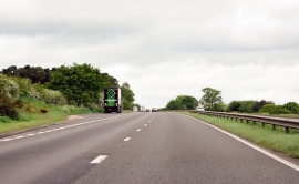
A1 north west towards Blyth
-
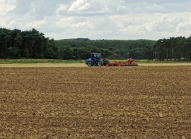
Harrowing on Blyth Law Hill
A1 north west towards Blyth
Harrowing on Blyth Law Hill
Location and coordinates are for the approximate centre of Chestnut Plantation within this administrative area. Geographic features and populated places may cross administrative borders.