-

Stubble field with straw bales
-
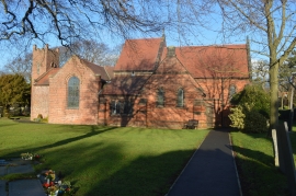
Christ Church
Stubble field with straw bales
Christ Church
Location and coordinates are for the approximate centre of Chestall within this administrative area. Geographic features and populated places may cross administrative borders.