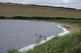
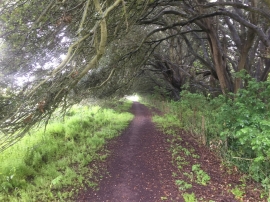
Chesil Beach, Dorset

« Gazetteer Entry
Upload Photo

Chesil Beach, Dorset

  • Parish/Community: Langton Herring
  • District/Borough: West Dorset
  • County: Dorset
  • Region: South West
  • Category: Geographic Feature
  • Type: Beach
  • Latitude/Longitude: 50°38'1"N 2°34'16"W
  • Eastings/Northings: 359696, 81722
  • OS Grid: SY596817
  • Mapcode Local: GBR PV.FTXY
  • Mapcode Global: FRA 57HD.J2H

Location and coordinates are for the approximate centre of Chesil Beach within this administrative area. Geographic features and populated places may cross administrative borders.

BritishPlaceNames.uk is a Good Stuff website.