-
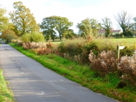
Looking along School Lane across footpath junction
-
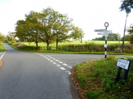
Looking along School Lane from the crossroads with Broad Lane
Looking along School Lane across footpath junction
Looking along School Lane from the crossroads with Broad Lane
Location and coordinates are for the approximate centre of Cherryhill Copse within this administrative area. Geographic features and populated places may cross administrative borders.