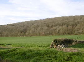
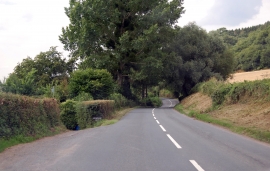
Cherry Hill, Herefordshire, County of

« Gazetteer Entry
Upload Photo

Cherry Hill, Herefordshire, County of

  • Parish/Community: Fownhope
  • Unitary Authority: Herefordshire, County of
  • Region: West Midlands
  • Category: Geographic Feature
  • Type: Hill or Mountain
  • Latitude/Longitude: 52°0'58"N 2°37'14"W
  • Eastings/Northings: 357500, 235500
  • OS Grid: SO575355
  • Mapcode Local: GBR FQ.H0K6
  • Mapcode Global: VH85X.JLD5

Location and coordinates are for the approximate centre of Cherry Hill within this administrative area. Geographic features and populated places may cross administrative borders.

BritishPlaceNames.uk is a Good Stuff website.