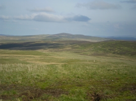
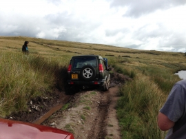
Cefn Mawr, Conwy

« Gazetteer Entry
Upload Photo

Cefn Mawr, Conwy

  • Parish/Community: Pentrefoelas
  • Unitary Authority: Conwy
  • Region: Wales
  • Category: Geographic Feature
  • Type: Hill or Mountain
  • Latitude/Longitude: 53°6'1"N 3°37'52"W
  • Eastings/Northings: 290876, 357146
  • OS Grid: SH908571
  • Mapcode Local: GBR 6C.8LDR
  • Mapcode Global: WH666.6B2L

Location and coordinates are for the approximate centre of Cefn Mawr within this administrative area. Geographic features and populated places may cross administrative borders.

BritishPlaceNames.uk is a Good Stuff website.