-

Bench with a view, Ferndale
-
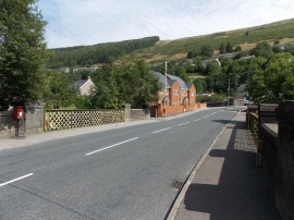
River bridge and a former railway bridge, Ferndale
Bench with a view, Ferndale
River bridge and a former railway bridge, Ferndale
Location and coordinates are for the approximate centre of Cefn Gwyngul within this administrative area. Geographic features and populated places may cross administrative borders.