-
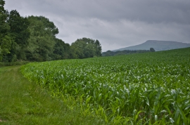
Field edge near Lower Ledwyche
-
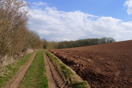
The Shropshire Way approaching Ledwyche Covert
Field edge near Lower Ledwyche
The Shropshire Way approaching Ledwyche Covert
Location and coordinates are for the approximate centre of Cay Brook within this administrative area. Geographic features and populated places may cross administrative borders.