-
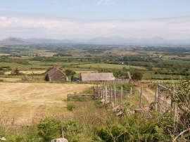
View downslope to Tyddyn-yr-haint
-
The derelict Tyddyn-yr-haint surrounded by harvested hay fields
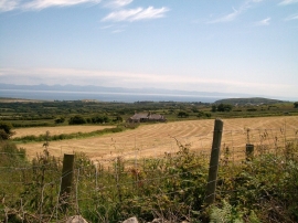
View downslope to Tyddyn-yr-haint
The derelict Tyddyn-yr-haint surrounded by harvested hay fields
Location and coordinates are for the approximate centre of Carneddol within this administrative area. Geographic features and populated places may cross administrative borders.