-
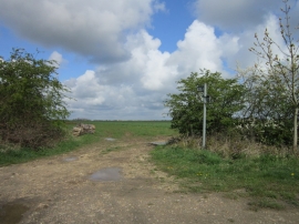
A bridleway off Sturdy Hill (road)
-
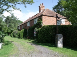
Rookery Farm near South Reston
A bridleway off Sturdy Hill (road)
Rookery Farm near South Reston
Location and coordinates are for the approximate centre of Carlton Wood within this administrative area. Geographic features and populated places may cross administrative borders.