-
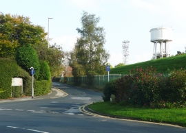
Nursery Lane at Primley Park Crescent, Alwoodley
-
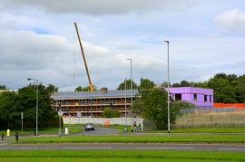
Lingfield Drive, Leeds
Nursery Lane at Primley Park Crescent, Alwoodley
Lingfield Drive, Leeds
Other current and historical names
Location and coordinates are for the approximate centre of Camp Town within this administrative area. Geographic features and populated places may cross administrative borders.