-
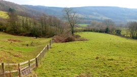
Monmouthshire countryside
-
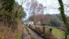
Cwmcarvan Lane
Monmouthshire countryside
Cwmcarvan Lane
Location and coordinates are for the approximate centre of Cae Crump Wood within this administrative area. Geographic features and populated places may cross administrative borders.