-
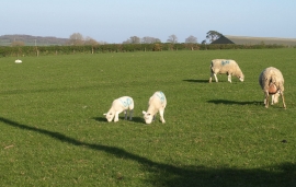
Sheep near Cadbury Barton
-
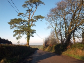
Trees and hedgebanks at Cadbury Barton
Sheep near Cadbury Barton
Trees and hedgebanks at Cadbury Barton
Location and coordinates are for the approximate centre of Cadbury Wood within this administrative area. Geographic features and populated places may cross administrative borders.