-
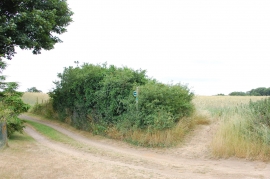
Footpath junction at Butley Low Corner
-

Suffolk Coast path at Butley Low Corner
Footpath junction at Butley Low Corner
Suffolk Coast path at Butley Low Corner
Other current and historical names
Location and coordinates are for the approximate centre of Butley Low Corner within this administrative area. Geographic features and populated places may cross administrative borders.