-
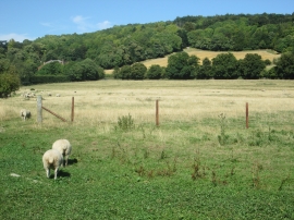
Glimpse of the Chiltern Way, Hambleden
-
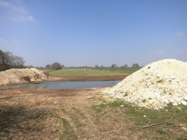
Chalky Heaps
Glimpse of the Chiltern Way, Hambleden
Chalky Heaps
Location and coordinates are for the approximate centre of Bushy Coombe Wood within this administrative area. Geographic features and populated places may cross administrative borders.