-
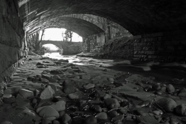
Lurking under the arches
-
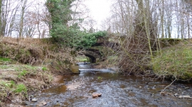
Three bridges
Lurking under the arches
Three bridges
Location and coordinates are for the approximate centre of Bush Head Wood within this administrative area. Geographic features and populated places may cross administrative borders.