-
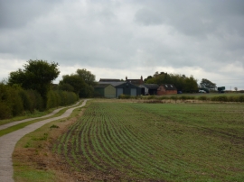
High Westing Farm
-
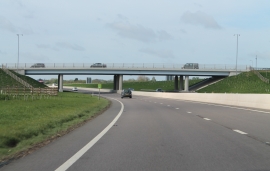
Bridge over A46
High Westing Farm
Bridge over A46
Location and coordinates are for the approximate centre of Burrowsmoor Holt within this administrative area. Geographic features and populated places may cross administrative borders.