-

Forest edge of Stroupster Forest
-
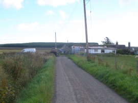
Ruthers of Howe Farm
Forest edge of Stroupster Forest
Ruthers of Howe Farm
Location and coordinates are for the approximate centre of Burn of Alterwall within this administrative area. Geographic features and populated places may cross administrative borders.