-
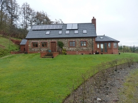
The house at Cefn-cendu-uchaf
-
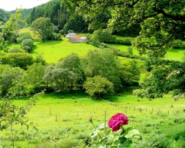
View to Llofft-y-bardd
The house at Cefn-cendu-uchaf
View to Llofft-y-bardd
Location and coordinates are for the approximate centre of Bryn within this administrative area. Geographic features and populated places may cross administrative borders.