-
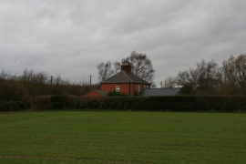
House near the corner of the old A46 Fosse way and Brough Lane
-
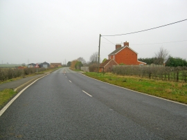
The Fosse Way at Brough
House near the corner of the old A46 Fosse way and Brough Lane
The Fosse Way at Brough
Location and coordinates are for the approximate centre of Brough within this administrative area. Geographic features and populated places may cross administrative borders.