-
Nunraw Abbey across the fields
-
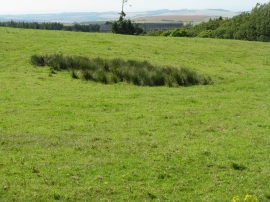
Broomy Brae
Nunraw Abbey across the fields
Broomy Brae
Location and coordinates are for the approximate centre of Broomy Brae Plantation within this administrative area. Geographic features and populated places may cross administrative borders.