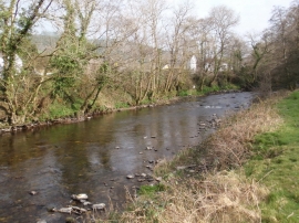
Bronwydd, Carmarthenshire

« Gazetteer Entry
Upload Photo

Bronwydd, Carmarthenshire

  • Parish/Community: Bronwydd
  • Unitary Authority: Carmarthenshire
  • Region: Wales
  • Category: Populated Place
  • Type: Village
  • Latitude/Longitude: 51°53'54"N 4°17'49"W
  • Eastings/Northings: 242041, 224697
  • OS Grid: SN420246
  • Mapcode Local: GBR DG.QJS3
  • Mapcode Global: VH3L9.GKL2

Location and coordinates are for the approximate centre of Bronwydd within this administrative area. Geographic features and populated places may cross administrative borders.

BritishPlaceNames.uk is a Good Stuff website.